About

about our Company
Who We Are and What
We Stand For
Geopros Engineering is a premier geoscience and environmental services company incorporated on
14th June, 2021. We deliver high-quality, data-driven solutions to clients across the mining, water
resources, construction, and environmental sectors. Our multidisciplinary team combines cutting
edge technology with deep field experience to provide reliable results that inform sound decision
making.
From project inception to post-field reporting, Geopros Engineering maintains the highest standards
of technical excellence, professional integrity, and client satisfaction. We understand that our clients’
success depends on accurate subsurface knowledge, which is why we go beyond data collection to
provide actionable insights and strategic recommendations.
VISSION
To be the leading geoscience and environmental
engineering firm in West Africa, recognized for
innovation, accuracy, and sustainable practice.
MISSION
To deliver reliable, technology-driven earth
science solutions that empower clients to make
informed decisions, protect the environment, and
unlock subsurface potential.
- Water Resources
- Mining & Minerals
- Construction & Civil
- Agriculture & Land Use
- Oil & Gas
- Government & NGOs
know more
Call Us Any Time
+233 241452788
Why GeoPros Engineering
• Led by a Professional Member of the Ghana Institute of Geoscientists (GhIG), ensuring all
work meets the highest professional and ethical standards
• Qualified and experienced multidisciplinary professionals in earth sciences and
environmental engineering
• Use of modern, calibrated equipment and industry-standard software for data acquisition
and analysis
• Rapid mobilization and timely project delivery without compromising quality
• Comprehensive, well-structured technical reports with clear interpretations and
recommendations
• Commitment to health, safety, environment (HSE) standards on all field operations
• Competitive and transparent pricing tailored to project scope and client budget
• Strong client relationships built on trust, integrity, and consistent performance
• Local expertise with international best-practice standards
-
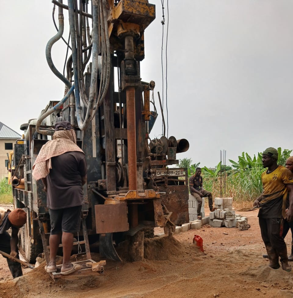
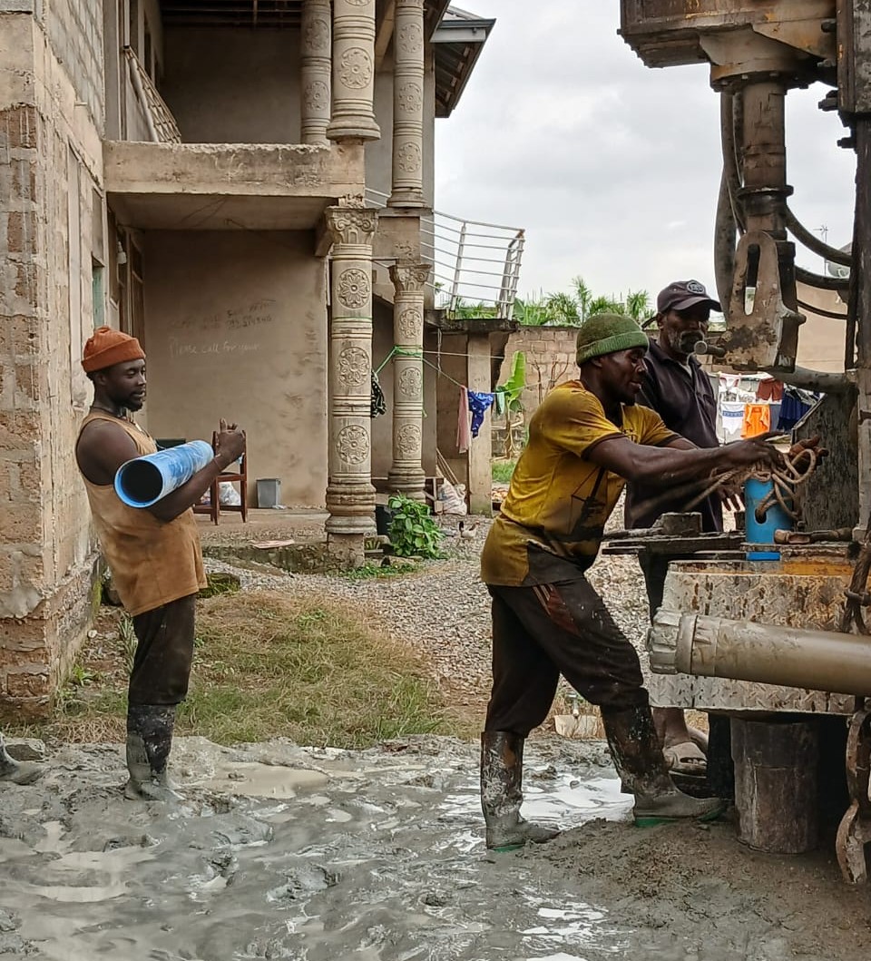
Best Borehole Company In Ghana
-
Trusted And Reliable
PROFESSIONAL EXPERIENCE
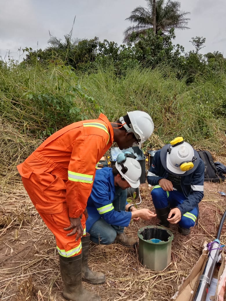
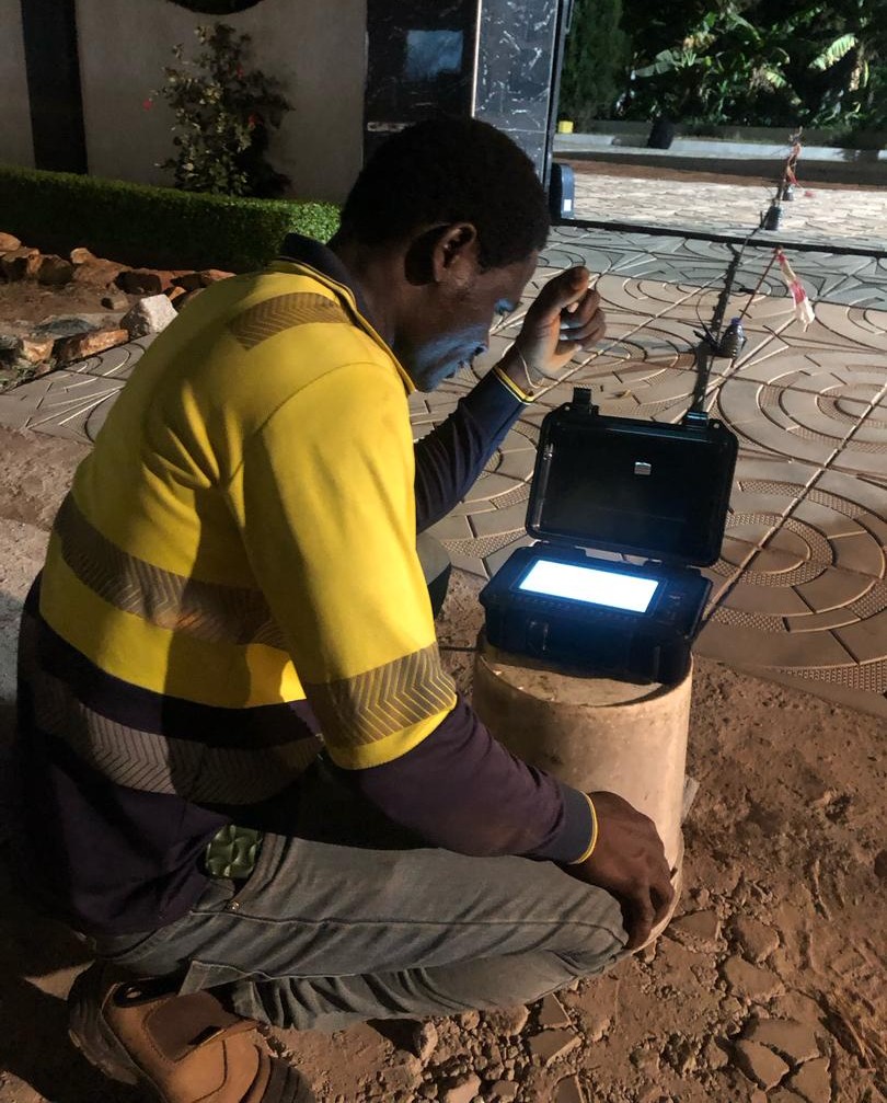
– Lead geophysical surveying and borehole siting programmes for
groundwater development.
– Supervise drilling operations; prepare detailed geologic logs and
oversee well construction, development, and testing.
– Analyse aquifer test data and produce comprehensive technical and
regulatory reports.
– Monitor water chemistry and collect samples for laboratory analysis.
– Support channel culvert design and peak flow attenuation studies.
– Maintain dual-phase extraction systems through routine operations
and maintenance.
Project Management International (PMI) – Sierra Leone
– Designed and executed hydrological pumping tests to evaluate
aquifer performance.
– Supervised drilling and installation of hydrological boreholes at the
Sierra Rutile concession.
– Characterised and determined hydraulic properties of aquifer
systems, informing resource management decisions.
Assistant Materials Engineer | Ghana Highway Authority
– Tested and evaluated road construction materials using DCP and
density methodologies.
– Designed local road schemes and maintained infrastructure
including bridges and structures.
– Analysed material test data using modelling software and
maintained compliance documentation.
Hydrogeologist | Consteng Edak Ghana Limited
– Recorded detailed lithological logs during drilling campaigns.
– Conducted and interpreted pumping tests; submitted
hydrogeological reports to the Water Resources Commission.
– Applied ArcGIS, Google Earth, and MS Project for spatial data
management.
Intern Geologist | Ghana Geological Survey Authority
– Rotated through Geology, Petrology, and Ceramics departments gaining broad geoscience exposure.